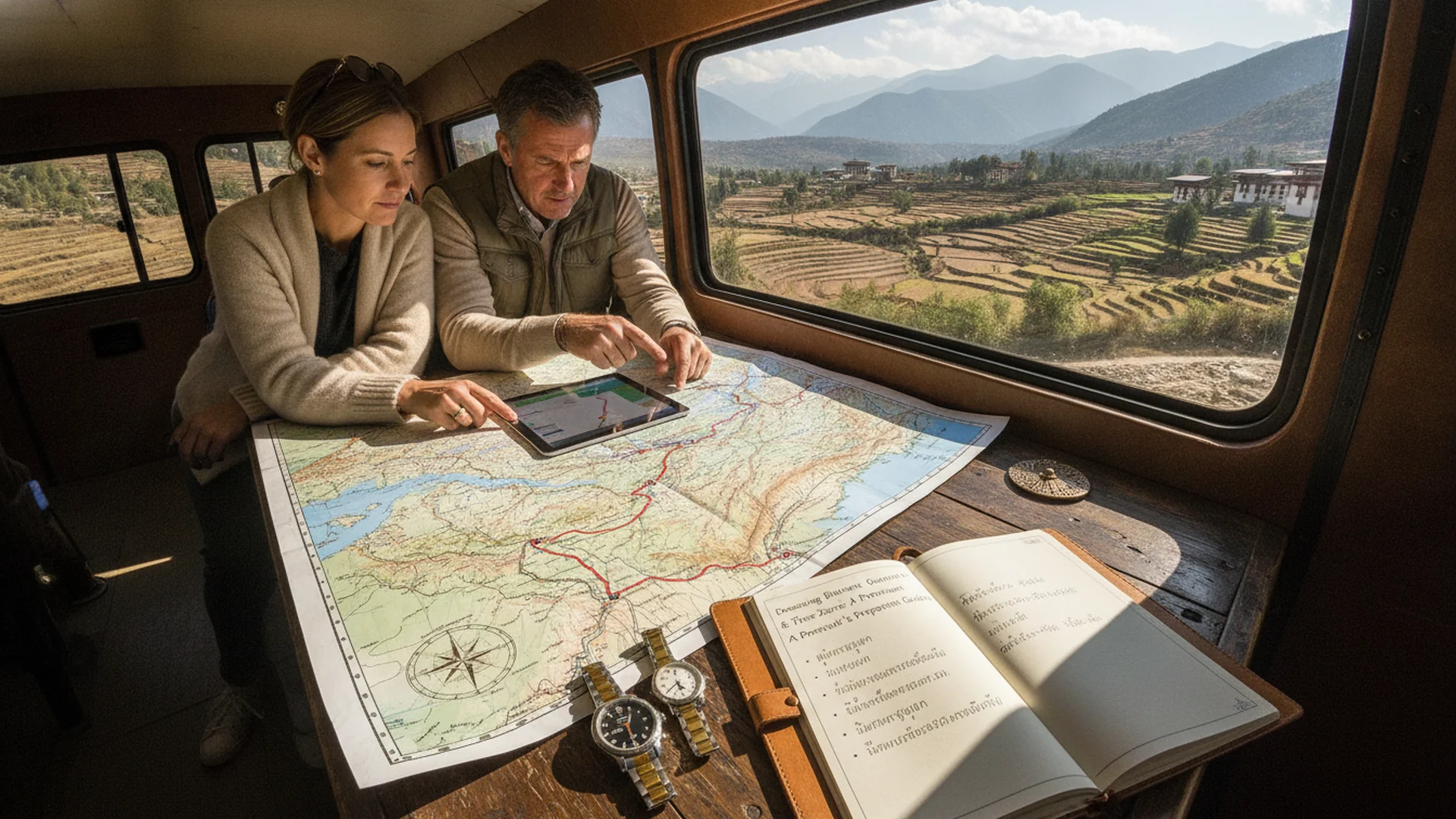
As the aircraft gently banks through the precipitous gorges of the Eastern Himalayas, its metal wings seem almost to graze the deep emerald pines and whitewashed masonry clinging to the steep mountain slopes. This is Paro, the primary gateway to the Kingdom of Bhutan—a realm where geography is far more than a physical barrier; it is a sacred natural fortress that has preserved the nation’s pristine spirituality, ancient culture, and Gross National Happiness (GNH) to this day.
Comprehending Bhutanese geography requires looking far beyond a conventional roadmap. It is an exercise in deciphering a philosophy of living written in towering peaks, mist-veiled morning valleys, and emerald-hued rivers. It invites the discerning traveler to recalibrate their internal clock, slowing down to fully inhabit a land where time itself moves with deliberate grace.
Topographical Architecture: Three Zones from Subtropical Forests to Glacial Crests
Landlocked along the rugged spine of the Eastern Himalayas, Bhutan features an extraordinarily steep terrain that leaves virtually no expansive flatlands. Geographically, the kingdom is stratified into three distinct altitudinal belts.
The journey begins in the southern foothills, where a subtropical climate fosters dense, primordial jungles and remarkable biodiversity. Ascending northward brings one to the central valleys—the cradle of Bhutanese civilization, housing the fertile Paro Valley and the capital, Thimphu, at elevations between 2,000 and 3,000 meters above sea level. This temperate zone has sustained human settlements and agriculture for centuries. Finally, the northern frontier is defined by towering Himalayan peaks permanently mantled in snow and ice, including Gangkhar Puensum, the nation’s highest summit and the world’s highest unclimbed mountain, left untouched out of profound reverence for local beliefs honoring sacred mountain deities.
This dramatic topographical variation directly dictates Bhutan’s localized weather patterns. Each valley possesses its own microclimate, where intense afternoon sunlight can rapidly give way to biting alpine chill the moment the sun dips behind the towering ridges.
An Aerial Rite of Passage: Mastering the Approach to Paro Valley
Arrival in the kingdom begins with an unforgettable aeronautical ballet at Paro International Airport. Situated within a narrow river valley at an elevation of 2,235 meters and enclosed by 5,000-meter peaks, landing here demands elite piloting expertise and specialized certification.
Commercial flights do not operate under the cover of darkness or during inclement weather; visibility must remain immaculate under Visual Meteorological Conditions (VMC). Gliding past timber rooftops and pine-covered ridges onto a remarkably short runway serves as a humbling introduction to nature’s magnificence—a poignant reminder that in this sanctuary, humanity adapts to the environment rather than seeking to dominate it.
Synchronizing with the Mountains: Time, Rhythm, and Balance
Operating on UTC+6, Bhutan sits one hour behind Thailand (when it is 09:00 in Bangkok, it is 08:00 in Thimphu). This subtle temporal shift yields a profound psychological effect upon arrival; the relentless urgency of the digital world gently dissolves, replaced by the crisp clarity of dawn illuminating ancient monastic fortresses known as Dzongs.
Navigating the mountain passes—such as the Dochula Pass, cresting at over 3,100 meters on the scenic route connecting Thimphu, Paro, and Punakha—reveals that spatial distances on a map require unhurried appreciation. Embracing this unhurried pace is the true key to absorbing the quiet elegance of valley life.